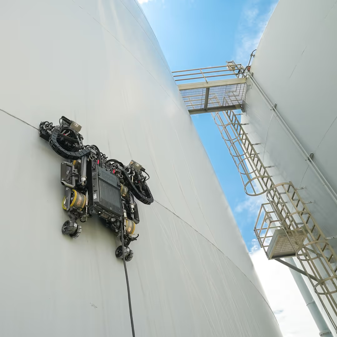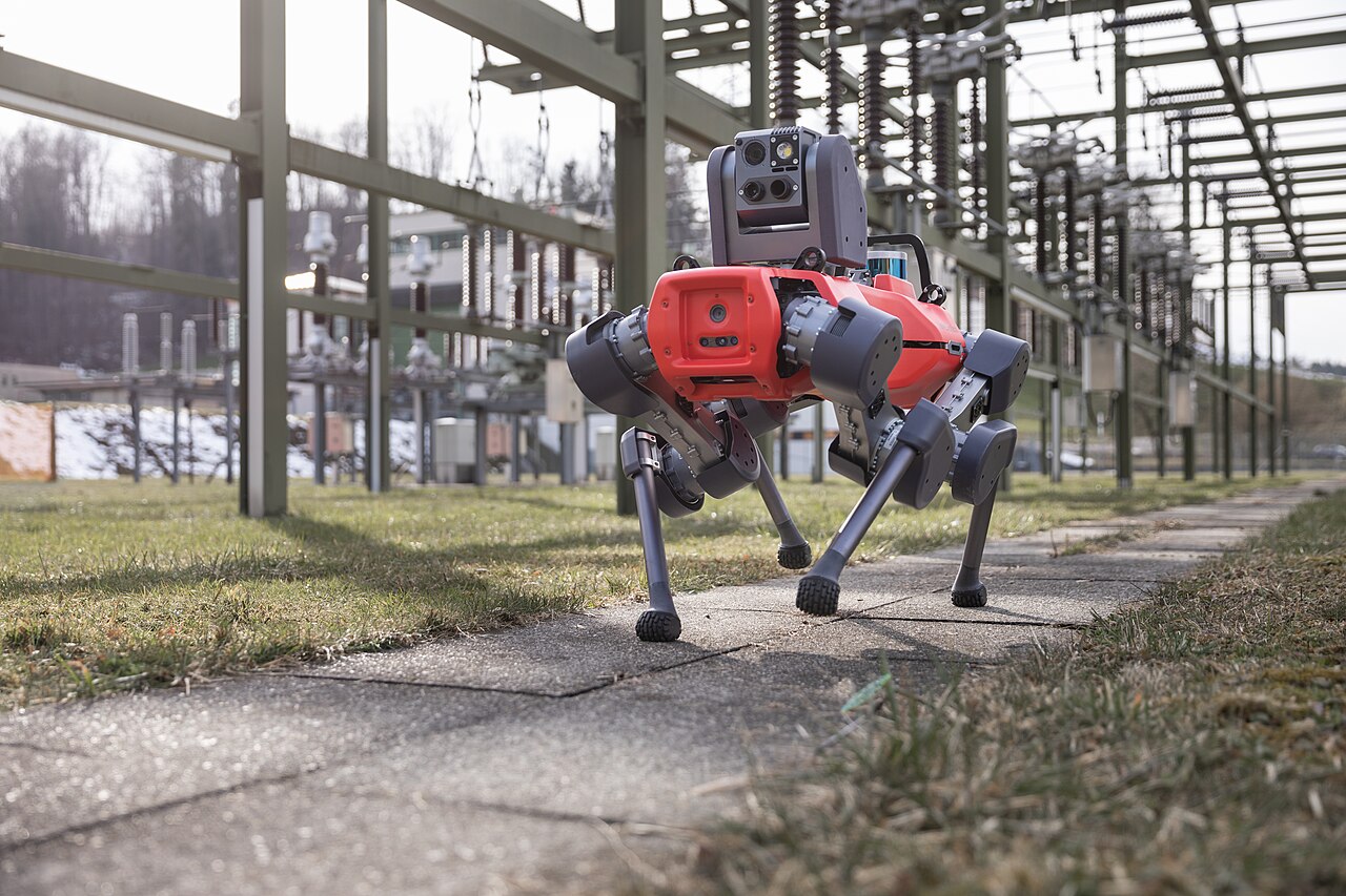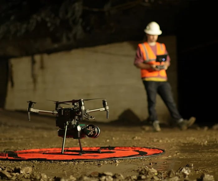
Exyn's June 2026 ExynAI release focused on processing and quality control as well as autonomous capture. That emphasis is especially relevant to structures such as bridges, where a detailed model can look more definitive than the underlying evidence warrants. Geometry, visible surface condition and internal material condition are different things. A robot that maps a difficult space may make an engineer's work easier without performing every part of the inspection. The useful claim is improved access to specified evidence, not a complete diagnosis inferred from the model's visual quality. ExynAI software expansion, June 10, 2026.
The deliverable starts after the flight
Exyn's documentation describes a workflow in which a captured log is processed, cleaned, georeferenced and exported as a point cloud. These steps determine whether another professional can compare the survey with earlier observations or design records. They also introduce choices. Removing moving points can make a model cleaner, but processing should preserve the record needed to explain what was removed and why. Downsampling can make a file easier to share while changing the detail visible to the recipient. None of these operations is inherently wrong; they need to be appropriate to the intended use. Exyn onboard mapping and post-processing.
Gecko's aerial-surface-scanning offering provides a useful comparison. It places drone observations within a broader inspection-data platform rather than suggesting that the aircraft itself supplies all forms of nondestructive testing. The shared lesson is that capture and interpretation are separate stages. An engineer deciding whether a visible feature needs further investigation may benefit from high-quality imagery. A decision about material thickness or a hidden defect may require a different measurement. Combining results in one interface is helpful only when the method and limits of each layer remain visible. Gecko aerial surface scanning.
A complete-looking model can contain important gaps
Occluded surfaces are an obvious example. A model may present a convincing exterior while leaving the underside of a connection, an internal cavity or a narrow gap poorly observed. The missing area can be small relative to the total structure and still matter greatly to the engineering question. A meaningful coverage report therefore needs to be organized around inspection targets, not simply the percentage of the scene that contains points. The geometry of the bridge and the inspection objective together determine what counts as a material gap.
Repeat surveys bring another challenge. A change in viewpoint, surface moisture or processing settings can alter the appearance of a feature without an equivalent physical change. Conversely, a subtle physical change may be difficult to see in a broad comparison. The workflow should make those differences traceable so an engineer can decide whether a new observation warrants closer examination. Automation can help align and compare the evidence, but the comparison is not self-explanatory. The system needs a way to say that two measurements are not directly comparable.
Autonomy is most useful when it asks for the missing evidence
The stronger long-term application is a feedback loop: an inspection target is uncertain, the system identifies the missing viewpoint or measurement, and another observation is requested. That is more useful than assigning a confident condition label to incomplete data. Exyn's processing update is relevant to this direction, but the release itself does not demonstrate a fully autonomous bridge-inspection service. The present evidence supports a more bounded conclusion. Robotic mapping can expand access and create a reusable spatial record. The quality of an inspection still depends on choosing the right measurement, showing the gaps and connecting the result to a qualified engineering decision.
High-resolution imagery can make a bridge easier to examine, but a photograph answers only the questions its viewpoint and sensing method allow. Autonomous image capture should therefore be evaluated as one part of an inspection process. The image count is a poor substitute for a clear account of which conditions were actually assessed. FHWA describes drones as supplementary tools with limits on physical examination. FHWA bridge inspection questions and answers.
Match the tool to the question
A useful mission plan begins with the inspection question: surface appearance, access to a difficult area, or change since a previous visit. Each may require a different view and different follow-up. The system should preserve that purpose so the reviewer knows what the flight was designed to establish.
Coverage records should identify obscured and inaccessible areas. If the machine cannot obtain a useful view, the inspection report should carry that uncertainty forward. A complete-looking digital model can be misleading when its visual continuity hides gaps in the evidence available to the engineer. NIST's robotics programme develops performance measures and evaluation methods. NIST measurement science for robotics.
Show the unobserved areas
Repeatability also needs attention. Comparing two surveys requires sufficient consistency in location, scale and viewing conditions. When the collection method changes, the record should say so. That lets reviewers decide whether an apparent difference deserves investigation or simply reflects a different way of observing the same surface.
The implication is a disciplined division of work. Autonomous systems can collect and organize observations; qualified inspection processes determine what those observations establish and what remains to be examined. Procurement should reward useful coverage and traceability rather than promise that one sensing method can answer every structural question.
Sources & evidence
This archive preserves its original editorial date. Sources describe the events and announcements discussed; they do not establish today’s status.