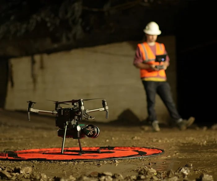
Exyn announced expanded ExynAI capabilities on June 10, 2026, with changes to data processing, filtering, georeferencing and quality checks. For ports considering robotic surveying, the significance is less about a new flight maneuver than the usefulness of the resulting spatial record. A terminal is a working environment, with moving cargo, temporary obstructions and equipment whose location changes. A high-resolution map can be technically impressive and operationally stale. The software workflow has to distinguish the enduring structure from the traffic passing through it. ExynAI software expansion, June 10, 2026.
Mapping and operating are different responsibilities
Exyn's mapping documentation describes onboard autonomy and subsequent point-cloud processing. Its tools can remove non-static points and export data for other applications. Those are useful capabilities, but they should not be mistaken for authority to direct terminal traffic. A mapping robot may know where an obstacle is while having no information about the next crane movement or a berth's operating priority. The port's own coordination system remains essential. The robot contributes a view of physical space; the operating organization supplies the purpose and timing of work within that space. Exyn onboard mapping and post-processing.
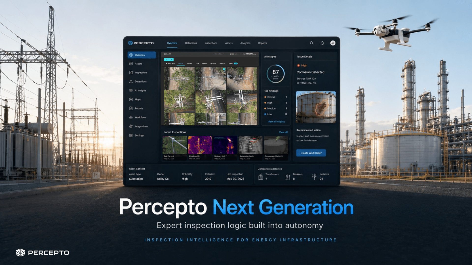
Percepto approaches ports from a different direction, marketing recurring autonomous inspections and monitoring for terminals. That distinction helps define the choice facing an operator. A survey intended to update an engineering model and an inspection intended to identify a developing condition may use similar aircraft but produce different deliverables. One needs a spatially consistent representation; the other may need a timely alert with evidence attached. There is no reason to assume that a single attractive aerial dashboard meets both requirements equally well. Percepto ports and terminals offering.
The map needs a time dimension
A port model should make clear when each part was observed and what changed after that observation. Otherwise, a planner can treat a temporary stack of containers as a permanent boundary or mistake a removed obstruction for a newly available route. This is especially important when different surveys are merged. Their coordinate systems may agree while their physical contents describe different days. The resulting composite can look coherent without representing any real operating state. A reliable workflow preserves the dates and the reason for each survey rather than flattening them into one apparently current picture.
That issue also affects claims of autonomous navigation. A robot that builds its own local map is solving an immediate mobility problem. A port engineer combining its observations with an existing model is solving a longer-term information problem. Success in the first does not guarantee success in the second. The machine might return safely with data that requires careful registration or additional ground control before it can support engineering work. Describing those processing steps as part of the job makes the productivity comparison more credible than counting only the time spent flying.
Interoperability is an operational requirement
Exyn's June release is evidence of attention to this after-flight workload, not independent proof of faster project completion at every terminal. For a port, the decisive question is whether surveyors, maintenance planners and operations staff can use the same evidence without losing its qualifications. A file export is necessary but not sufficient. The recipient needs its coordinate reference, capture date, gaps and uncertainty. If those survive, robotic mapping can reduce repeated visits and improve shared understanding. If they disappear, the port may gain a vivid model while continuing to resolve the same practical disagreements by telephone and another walk around the site.
A port brings together machines that belong to different organizations and operate on different schedules. Introducing autonomous vehicles or drones into that setting is therefore more than a navigation exercise. Each system needs a predictable way to share space, exchange information and recognize when another operation has priority. Rotterdam describes operational drone services alongside preparations for further autonomous flight. Port of Rotterdam drone programme.
Negotiate shared space
A terminal vehicle may know its own destination while lacking information about an unexpected inspection or a temporarily closed lane. The coordination layer must explain who publishes those changes and how quickly they become effective. Otherwise each machine can be locally competent while the combined operation becomes difficult to manage.
The same issue extends across road, rail and waterside activity. An automated observation that identifies a problem should connect to the team responsible for the affected asset. A useful digital interface describes the event in terms another organization can interpret, rather than assuming everyone shares the same internal equipment labels. FRA uses automated inspection data to inform maintenance and manual inspection. FRA Automated Track Inspection Program.
Treat interfaces as infrastructure
Trials should introduce changes at organizational boundaries: a revised arrival time, a contractor without the normal application, or a partner system that becomes unavailable. These are the places where technical assumptions become operating disputes. Recording how the trial resolves them is as important as measuring vehicle speed.
The implication is that shared rules and data interfaces deserve the status of infrastructure. They need ownership, maintenance and change control. A port's autonomy programme becomes more credible when it explains those arrangements alongside the machines, especially before moving from isolated demonstrations to interconnected daily operations.
Sources & evidence
This archive preserves its original editorial date. Sources describe the events and announcements discussed; they do not establish today’s status.